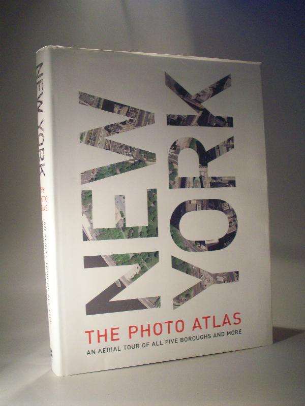
New York
Getmapping: New York - The Photo Atlas. An Aerial Tour of All Five Boroughs and More.
London. Harper Resource. 2004
1. Auflage. Erstausgabe.
ISBN 978-0060594992
400 Seiten, mit Luftbildaufnahmen und Karten von allen Stadtteilen New Yorks, opulenter Bildband 37 x 27,5 cm, ca. 3,7 kg schwer!
Klappentext: For those who think they know the streets of New York City like the back of their hand, think again. For those who dont know how to get around Gotham, here s a chance to get to know the city in all its glory. New York: The Photo Atlas combines exquisite aerial photography and de-tailed street atlas maps to provide a truly unique perspective of the city -- high above the concrete. The breadth of the area covered is stunning: All five boroughs are included, as well as several New York and New Jersey suburbs. Trace your bike route, find your apartment building, or take in the sights without leaving your living room. Even if you don t know New York well, you will find this book fascinating. The atlas is a breeze to use. The photography and the cartography share the same standard grid system so you can cross-reference quickly between the two elements, and every street in the area shown is indexed for both types of maps. Both the photography and cartography are "map accurate": the photography has been geo-corrected, a process that removes the distortions in the original aerial photography. Every street in NYC -- more than 40,000 in total -- has been indexed with two page numbers, one relating to the photos and the other relating to the cartography.
Sprache: Englisch
Bestellnummer: 11452